
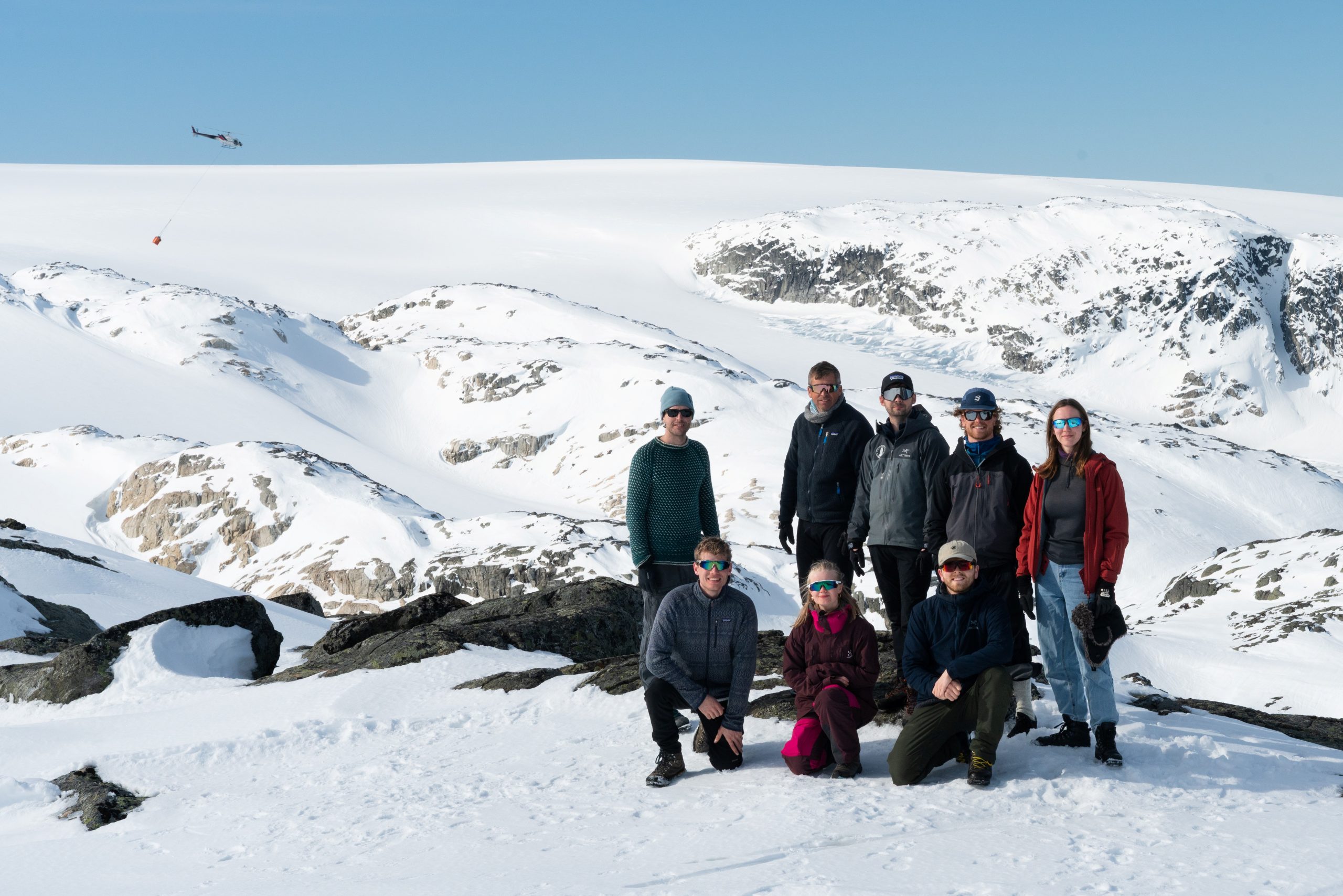
PhD students from the Centre for Mountains in Transition successfully deployed a weather station on the south summit of Folgefonna ice cap, at 1650 m elevation. It wasn’t an easy task, and it took the team – Polina, Fergus, Jesse and Elise – two days to set up on the glacier. Luckily, the setup was successful and the data that is being collected will be used to predict future development of the ice cap.
The station was designed and built from scratch by Polina over her first two months as a PhD student. Coming from a numerical modelling background, the practical work was new to her. She designed the tripod dimensions, cut and assembled the mast, legs, and tensioned steel-wires using large saws. She also wired and programmed the electronics: each of the station’s sensors connects to a datalogger, and the data acquisition had to be carefully configured to meet the station’s power budget and scientific standards.
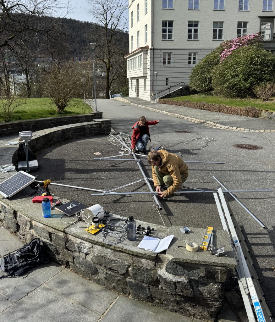
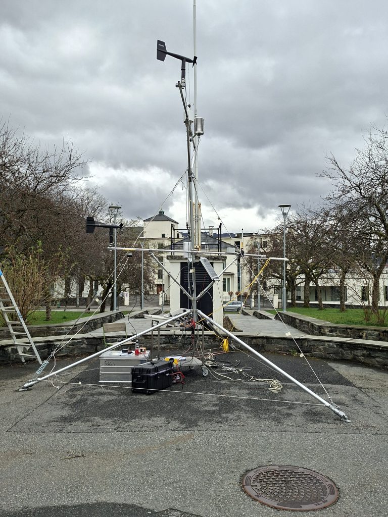
Before the deployment, the full structure was assembled in the GFI courtyard as a practice run. The station is designed to move with the glacier through the melt season and to withstand extreme wind loading. For this reason, it stands nearly five metres tall with a five-metre base.
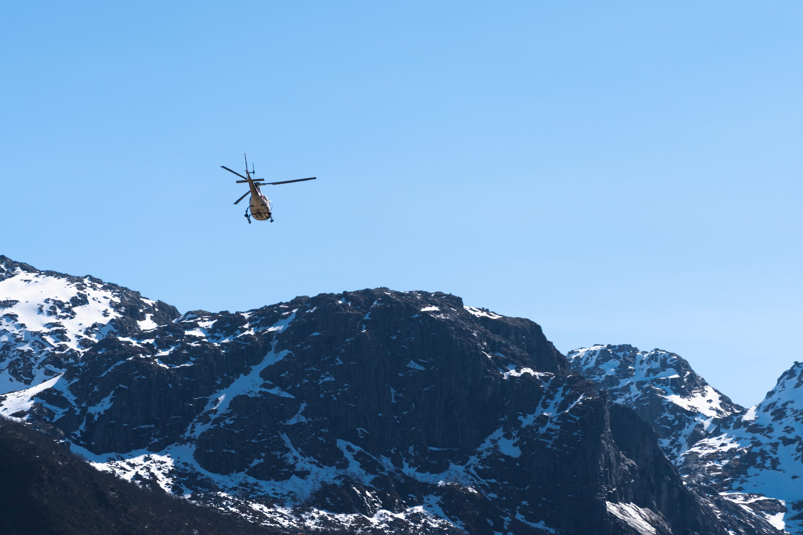
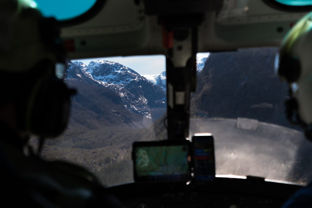
On the day of the fieldwork, all equipment had to be transported by helicopter to Fonnabu at 1450m and then by snow scooter to the summit plateau. This was the first time in a helicopter for most of the team, so there was a lot of excitement in the air.

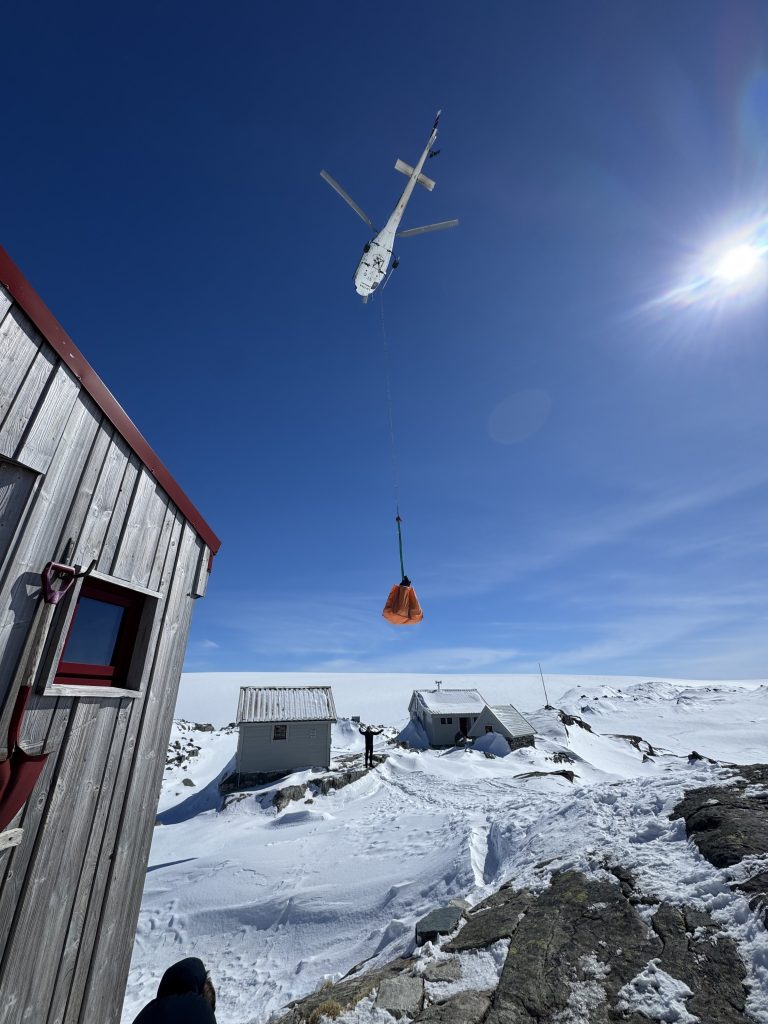
The weather was fantastic, with clear sky, no wind across both days of station setup, which felt miraculous. That afternoon the weather station team brought the station mast, sensors and tools needed for construction to the summit of the ice cap by snow scooter and sled. The tripod construction took the team all afternoon! The snow surface was relatively dense so walking on the summit was easy, and at the end of the day they skied down the snow scooter tracks back to the cabin. That evening was marked by a delicious meal made by Jostein and a beautiful sunset at Fonnabu.
The second morning the team mounted all, which required precise levelling and directional alignment. The afternoon and evening was spent debugging, wiring fixes, and transmission testing with the Geophysical Institute lab. Some real-time problem solving was needed as a few things went unexpectedly after the bumpy journey and cold conditions. But, the deployment was successful, with the data transmitted hourly to the lab.

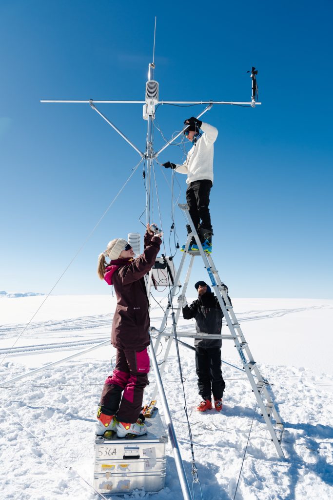
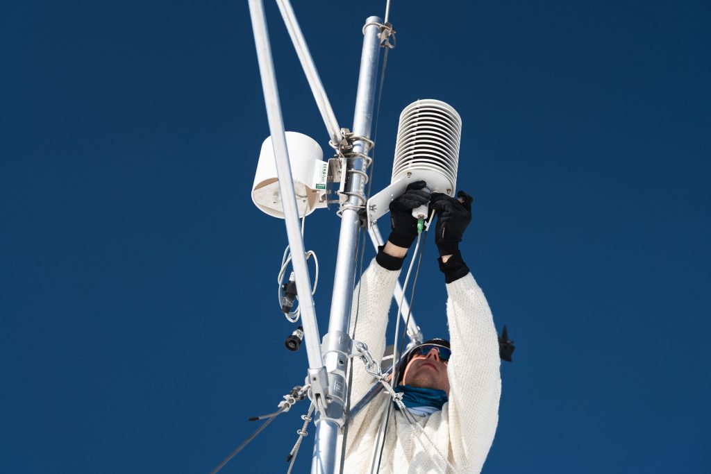
This station will be a real asset to understanding the changes on Folgefonna. Existing stations near the ski centre sit at the very edge of the northern ice cap, and lower elevations. This station sits at 1650 m on the summit and will provide the first direct measurements within the glacier’s accumulation zone and unobstructed by topography. This is instrumental to being able to study the processes on the glacier as a whole, and predicting whether accumulation patterns will persist in future.
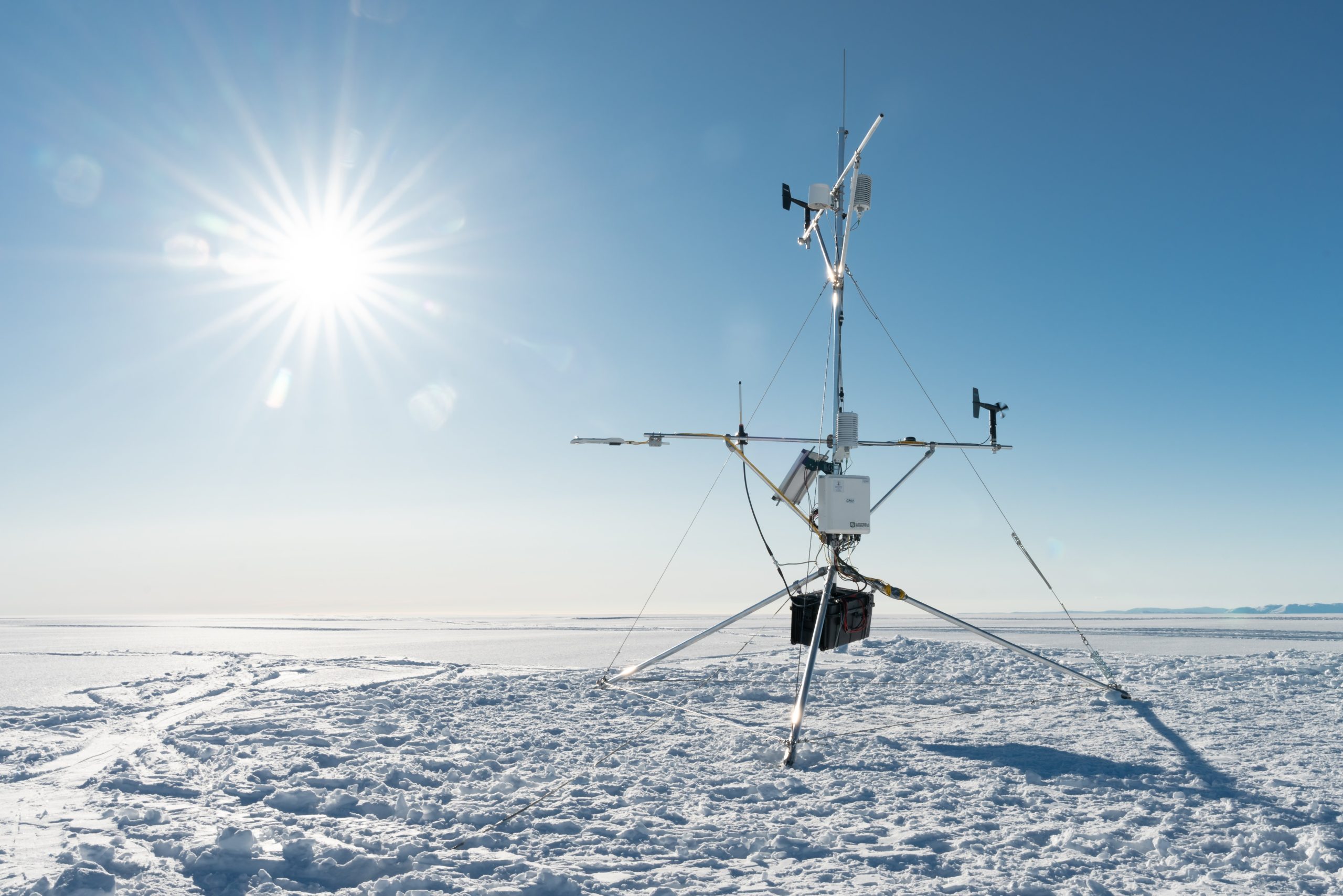
The primary scientific purpose of this station is to measure the glacier’s energy balance: the difference between incoming solar radiation absorbed and reflected by the ice, otherwise called albedo. As precipitation increasingly falls as rain rather than snow, surface albedo declines and more energy is absorbed, which accelerates melt. The station also measures longwave radiation and the turbulent atmospheric fluxes of heat and moisture that control the exchange of energy from the air to the surface.
This data will help understand the relationship between weather patterns and glacier mass balance to better predict the future of glaciers in Norway.
The live data showing current weather and snow conditions will soon be available on the centre website for those intending to cross the glacier, so keep an eye out for updates.
Thanks to everyone for a successful field campaign!
No responses yet